

Durmitor Adventure
Outdooractive Outdooractive Pro+

4 weeks of Outdooractive Pro+ for every Durmitor adventure

All guests receive direct Pro+ access with no card required. Plan your ride or hike, save maps offline, use navigation on the trail, then share a 3D Flyover of your adventure.


Pro routes and maps

Professional content, topo maps, and trail networks.

Offline navigation

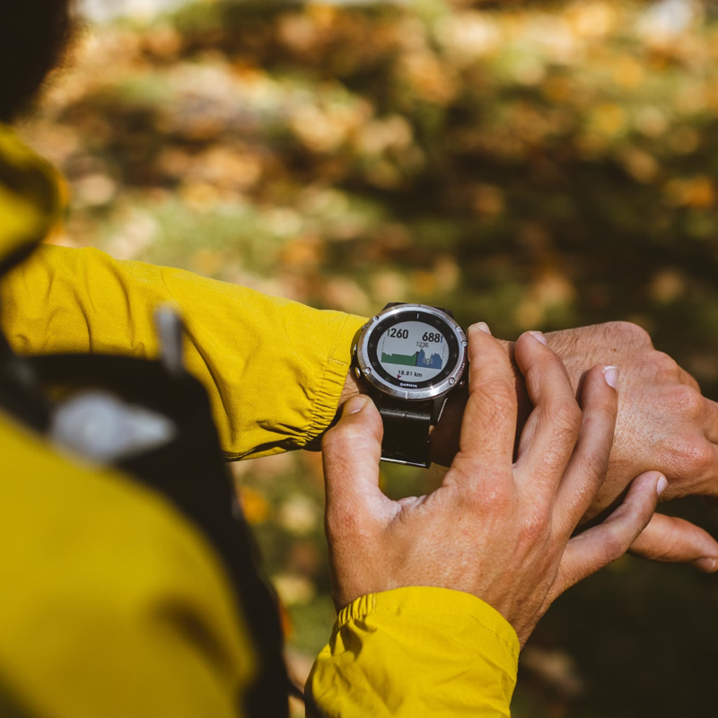
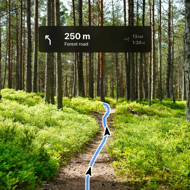
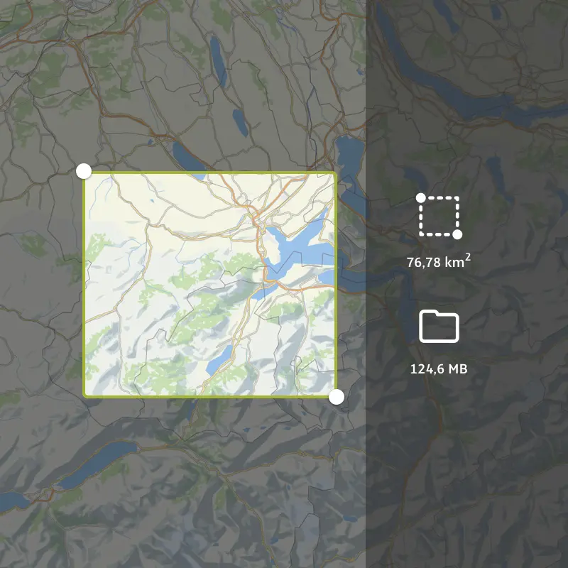
Maps and routes work even without signal.

3D Flyover sharing

View and share a 3D preview of your tour.

BuddyBeacon

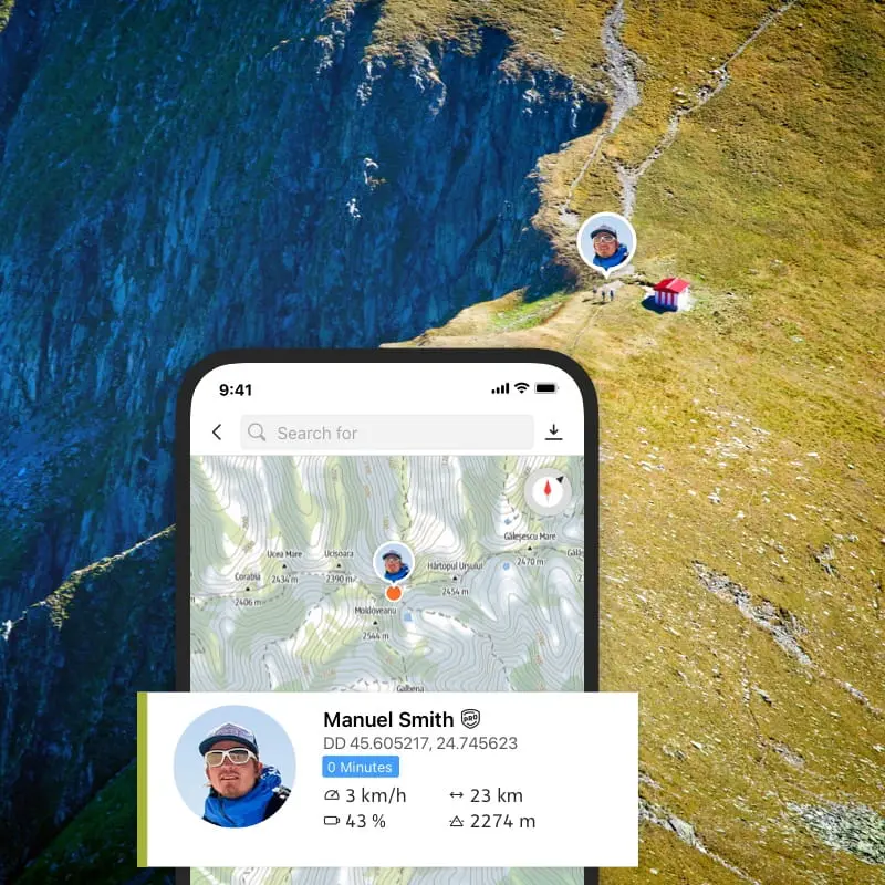
Share your live location with the people who should know where you are.

What you get as our guest

Outdooractive Pro+ is not a separate tour catalog. It is a tool included with your Durmitor Adventure experience, especially useful for self-guided eMTB, hiking and exploring Durmitor after your tour.

We activate access for you

You get 4 weeks of Pro+ access with no card required and no hidden steps before the tour.

Works without signal

Save maps and routes before departure, then use navigation where mobile coverage is unreliable.

Useful after the tour

Plan extra hikes, bike routes and viewpoints while you are still in Durmitor.

Complete feature catalogue

Basic, Pro and Pro+ features in one place

Outdooractive Pro+ includes all Basic and Pro capabilities, plus the additional Pro+ tools. This is the full feature set from the three Outdooractive membership pages.

Basic

Everything needed to start an adventure
Core tools for finding routes, planning, navigation, community and understanding the terrain.

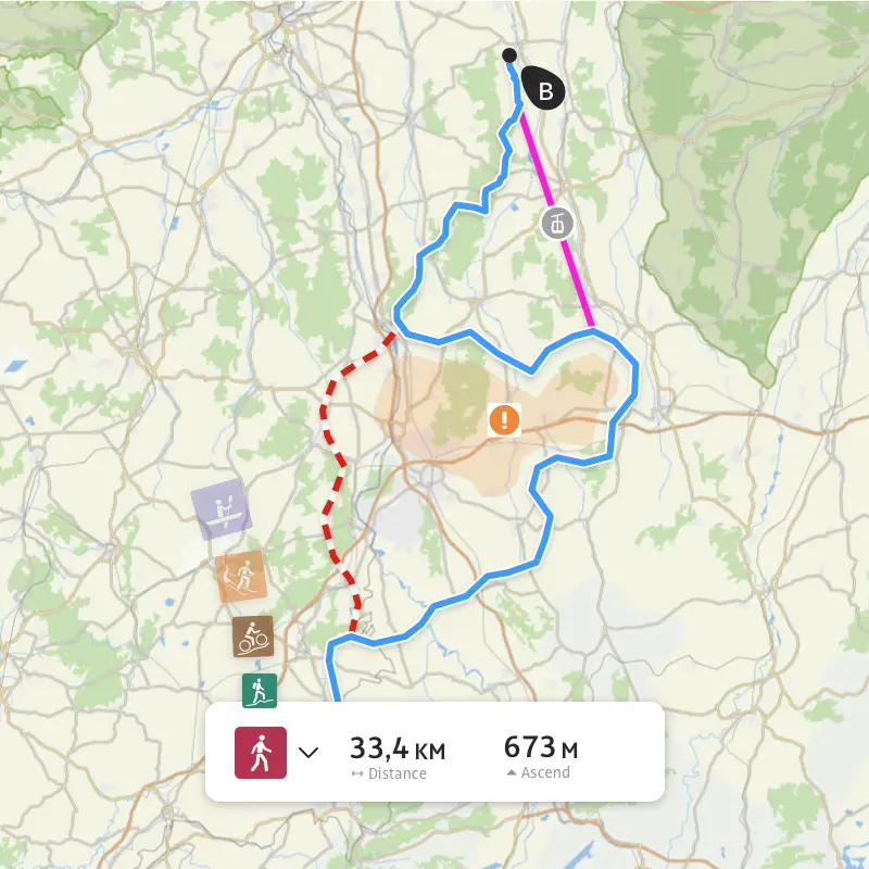
Plan and print routes for 30+ activities
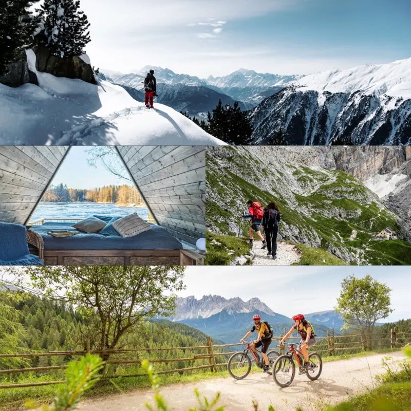
Create your own outdoor route and print it as a backup before departure.

Outdoor travel guide

Browse regions, destinations, routes and activities through the Outdooractive travel guide.

Challenges

Set goals, join challenges and connect with the Outdooractive community.

Current conditions

Check trail closures, hazards and local webcams before heading out.

Photos, ratings and comments

Add photos, rate places and accommodation, and comment on routes or contributions.

Sync with Garmin, Strava, Suunto and more
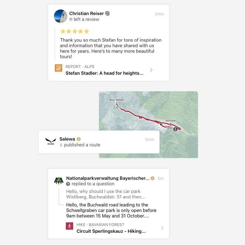
Connect Garmin, Strava, Wahoo, Fitbit, adidas Running, Polar and other services.

Follow organizations and community members

Follow official organizations, guides and users to see their published routes.

Audio Guide

Learn more about surrounding points of interest without constantly looking at the screen.

Points of Interest

Find peaks, lakes, towns, places to stay and other useful points on the map.

Rock climbing routes

See recommended climbing routes and related climbing information on the map.

Turn-by-turn voice navigation

Follow spoken navigation prompts so you can keep your eyes on the trail.

GPX downloads

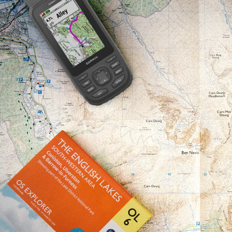
Download GPX files for planned routes and use them on your own GPS device.

Ski runs and difficulty

See ski runs, difficulty levels, current status and closures by resort.

Avalanche reports

View current avalanche warning levels for high-risk winter areas.

Rules and protected-area guidance

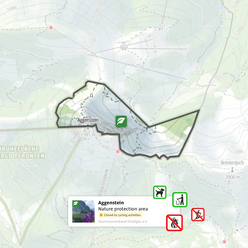
Understand access rules, protected areas, restrictions and responsible outdoor behavior.

Pro

More reliable planning, maps and safety
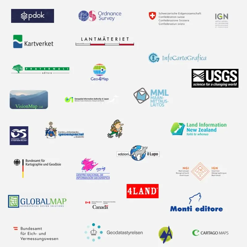
Pro adds stronger maps, offline use, safety tools, advanced layers and every Basic feature.

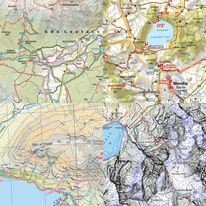
Official topo maps

Access official topographic maps for many countries and regions.

Pro Benefit Partner discounts

Get discounts of up to 30% with outdoor equipment and service partners.

Trail networks for multiple activities

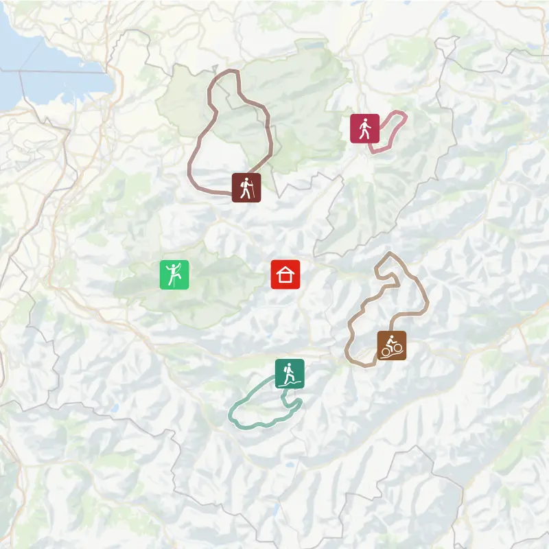
See hiking, MTB, backcountry skiing, horseback riding and other trail networks.

Steepness profiles

Assess climbs, descents and steep sections before you start.

Satellite imagery

Use satellite view to understand terrain, access and surroundings in more detail.

Offline maps and routes

Save regions and routes before departure and navigate without mobile signal.

BuddyBeacon live location

Share your live location with trusted people during a ride or hike.

Shareable Flyover videos

Create and share a 3D video replay of your adventure.

1% for the Planet

Outdooractive contributes part of Pro and Pro+ subscription revenue through 1% for the Planet.

Ad-free access

Plan and navigate without advertising interruptions.

Collections

Organize routes, tracks and favorite places into collections.

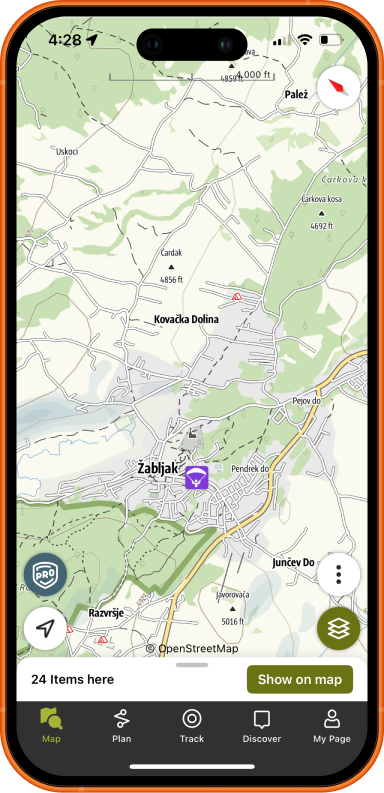
Outdooractive map

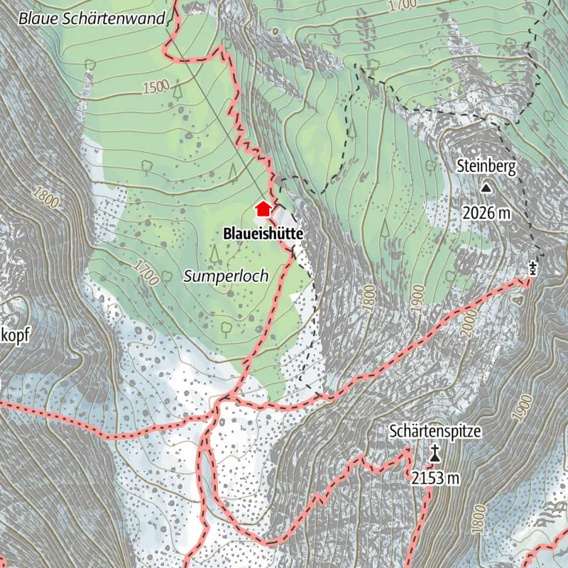
A map combining official sources, POIs, trail networks and planning data.

Avalanche Terrain Hazard Map

A winter layer for assessing avalanche terrain risk in the Alps.

Aspect Layer

See slope orientation for shade, sun exposure and winter planning.

Skyline

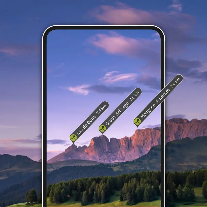
Recognize peaks, directions and nearby places with augmented reality.

My Map

Build a personalized map from selected routes, tracks and points of interest.

Pro+

Premium content and advanced outdoor layers
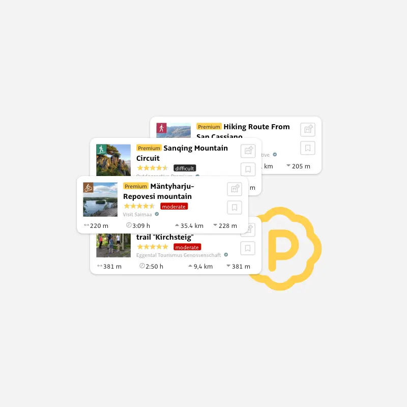
Pro+ includes all Basic and Pro features, plus premium routes, specialized maps and advanced mountain layers.

Premium partner routes

High-quality routes and recommendations from professional authors, publishers, guides and outdoor partners.

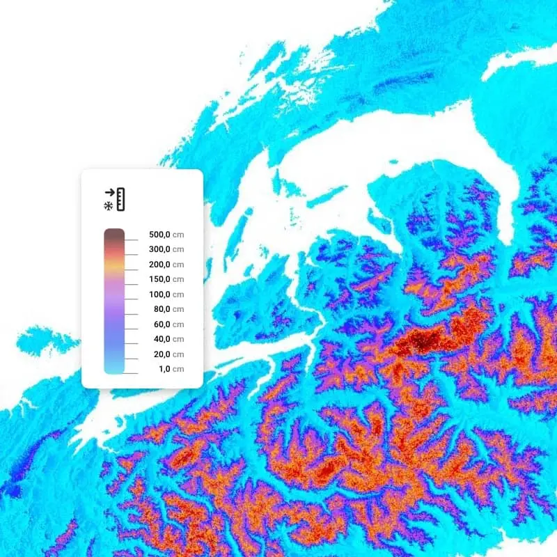
Snow depth layer

Quickly understand snow depth on the map when planning winter activities.

Embeddable content

Embed Outdooractive content on a website or blog.

Flyover previews

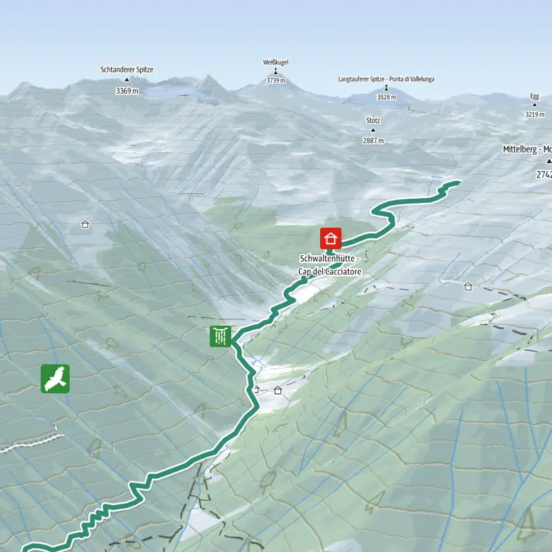
Preview a tour from above as a guided flight over a 3D map.

3D world map

Explore mountains, valleys and routes in a 3D map built for outdoor activities.

Specialized outdoor maps

Access maps such as ADFC-BVA, Alpine Club, KOMPASS, HARVEY, freytag & berndt and SHOCart.

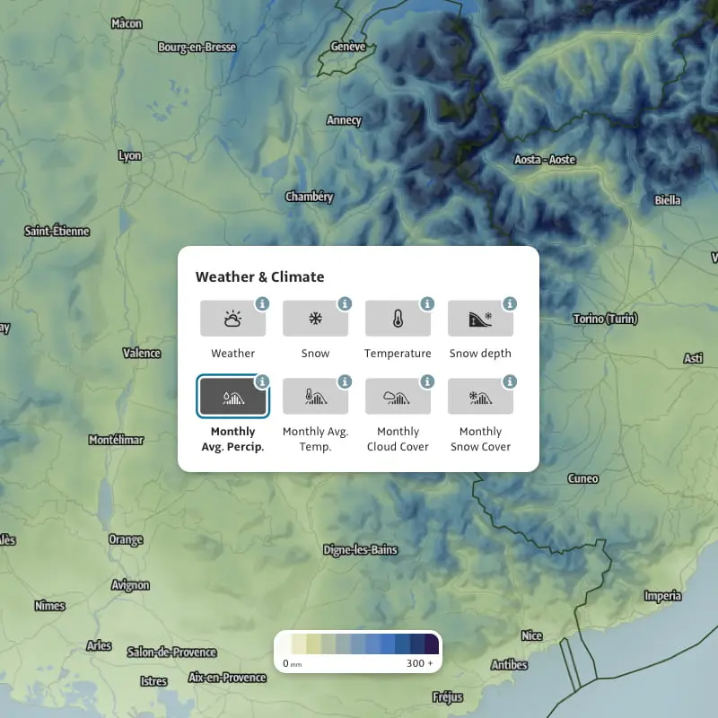
Advanced weather and meteorological info

Use more detailed weather, cloud, rain and snow information before departure.

Features are paraphrased from the Outdooractive Basic, Pro and Pro+ overviews. Basic , Pro , Pro+

Where Pro+ helps most

Self-guided eMTB

Route, map, navigation and extra confidence when riding without a guide.

Hiking and viewpoints

Plan extra walks, save maps offline and understand the terrain before setting out.

Sharing the experience

Flyover and collections help you save and share the best parts of the tour.

Want a route with Outdooractive Pro+?

Send us your date, group size and experience level. We will recommend a route and explain how to use Pro+ during your stay.