

Trans Dinarica
The first long-distance cycling route connecting all eight countries of the Western Balkans. Durmitor Adventure supports the project as an official partner and helps riders discover its Montenegro section.
A cycling journey across the Western Balkans
Trans Dinarica links mountains, national parks, villages and regional cities into one bikepacking route. It is designed for riders who want to experience the Balkans slowly, independently and with more of their spending reaching local communities.
One regional route
Built for exploration
Community-based travel
Montenegro
The route reaches the heart of Durmitor
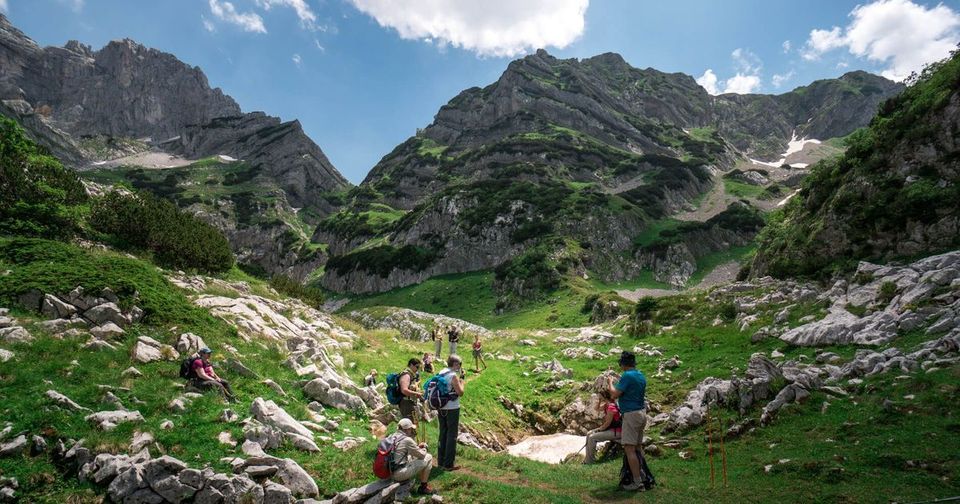
Montenegro is compact, mountainous and demanding. The route is planned in manageable daily sections, leaving riders time to experience Durmitor National Park, the Tara Canyon and the communities along the way.
Mountain terrain
Time beyond the bike
A natural route hub
Understand the journey before opening the map
The final map experience will combine the regional route with a closer view of Montenegro and Durmitor. This first version establishes the information riders need around that map.
Regional context
Montenegro stages
Durmitor detail
The official navigation pack is the route source
Trans Dinarica maintains paid Basic GPX and Full Ride with GPS packages. They include current tracks and practical route information; riders should use the official pack rather than treating a static website map as navigation.
Accurate route tracks
Practical points of interest
Offline preparation
Why Durmitor Adventure supports Trans Dinarica
The project matches how we believe Montenegro should be experienced: actively, responsibly and with meaningful support for local communities. Our role on this page is to make the Montenegro and Durmitor context easier to understand.
Local knowledge
Responsible travel
A better rider experience
What this page will add next
The page structure is ready for richer route tools and partner material once their exact format and source are agreed.