

eMTB route
Sinjajevina eBike Tour
Ride across Sinjajevina — the largest mountain pasture in Montenegro. A full suspension eBike tour through highland plateaus, remote lakes, and wild river canyons.
Full day
Moderate
2-8 people
May - October
One route, two ways to ride
Sinjajevina eBike Tour
Ride the same eMTB route with a local guide or independently with GPS navigation and Outdooractive Pro.
Guided
€70
Self-guided
€70
Route map and stats
- Distance
- 45-85 km
- Duration
- Full day
- Ascent
- 650-1.450 m
- Descent
- 650-1.450 m
- Highest point
- 1.450-1.900 m
- Lowest point
- 1.200 m
MTB data
Duration
Full day
Difficulty
Moderate
Group Size
2-8 people
Season
May - October
Highlights
Route story
The Roof of Montenegro
Sinjajevina is the largest mountain pasture in Montenegro — a vast, rolling highland plateau that stretches across the mountains south of Durmitor. This eBike tour takes you deep into that landscape, far from roads and crowds, through some of the most untouched terrain in the entire country.
On a full suspension eBike, you'll traverse open grasslands dotted with shepherd huts and summer cattle camps, dropping into the hidden basins where Zabojsko and Zminičko lakes lie still and blue against the highland sky.
Wild Rivers and Open Skies
The route also skirts the edges of dramatic mountain river canyons — short, sharp gorges where streams have carved down through the limestone plateau over thousands of years. The contrast between the open, gentle pasture and the sudden depth of these canyons is one of the great surprises of the Sinjajevina landscape.
This is a full-day tour that earns its scale. The electric assist handles the terrain and the guide handles navigation — your job is to take it all in.
Bike: Full suspension eBike Terrain: Mountain pasture tracks, gravel roads, canyon edges
Included with every ride
MTB safety
Before departure, we check the bikes, adjust equipment, and cover Bosch assist modes, braking, and route riding rules.


4 weeks free. No card required.
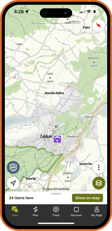
You get Pro+ access to professional routes, topo and satellite maps, trail networks, and navigation, without ads. After your ride or hike, view and share a 3D Flyover of your adventure. Learn more
Pro routes and maps
Offline navigation
3D Flyover sharing
BuddyBeacon
What to Bring
Send an inquiry for this adventure
More eMTB routes
Ready for an eMTB ride?
Send your date, group size, and experience level. We will recommend the best ride format for this route.